Congressional District Map Details
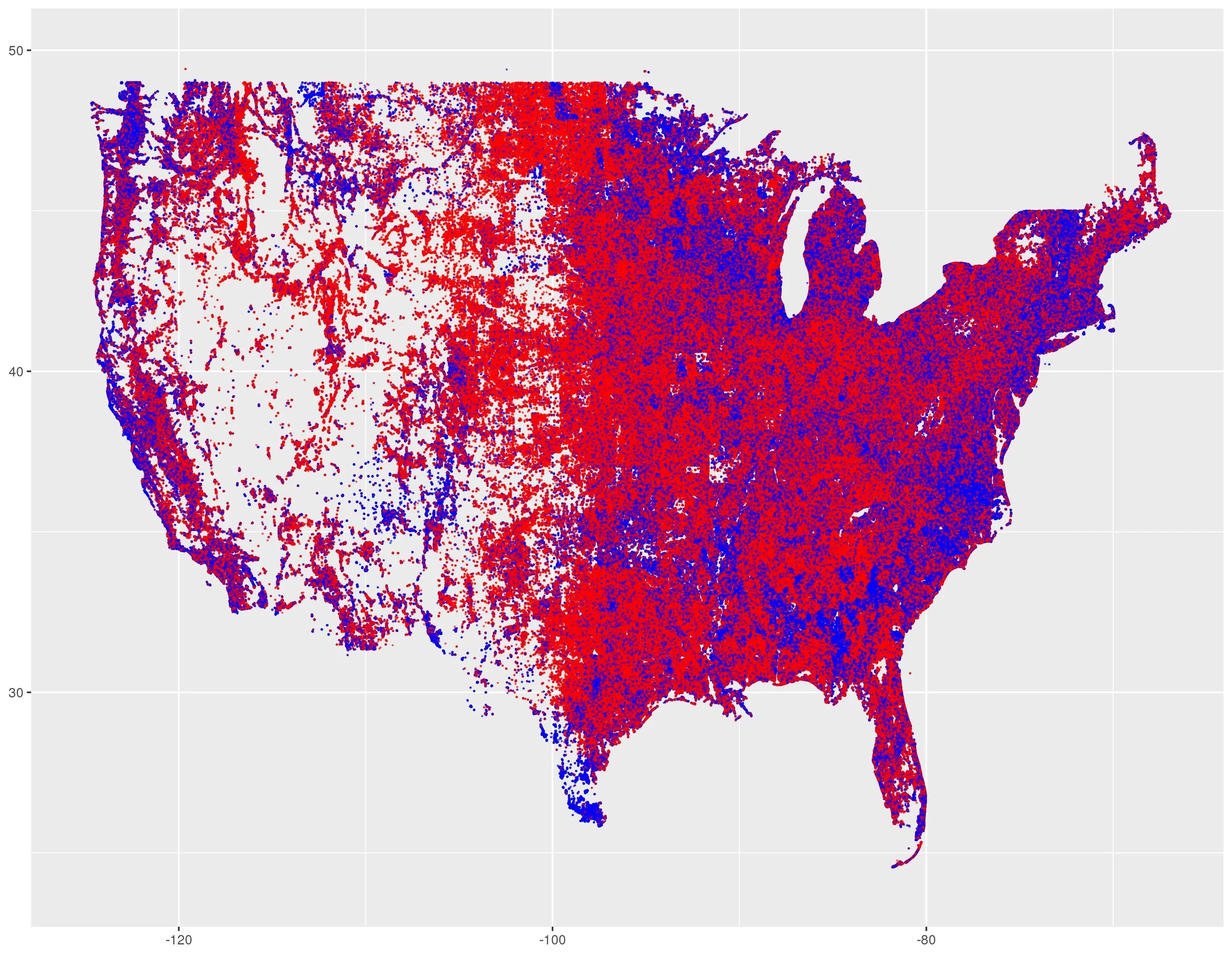
These maps are created by plotting the residential latitude and longitude of all Democrats and Republicans, as they are identified on state voter files from 2016 and 2017 (note some states do not have party registration and so the party is assumed from primary voting). Voters who are not Republicans or Democrats are not mapped. The maps were created using ggplot2 in R. The header of this page is map of every Republican and Democrat in the United States.